







The Best U.S. National Parks for Hiking
America is well known for its gorgeous National Parks and summer is a great time to go on a family road trip. These parks offer guests unique and breathtaking experiences. Besides, with such a variety of options to choose from, it can be difficult to decide where to go. For those hiking enthusiasts, we will take a look at the best U.S. National Parks for hiking and what you can expect from each park.
For an unforgettable adventure, use this checklist for planning your trip.
Know Before You Go
- Learn about the park at NPS.gov.
- Next, find out what activities can be done there.
- Know your limits. Assess your fitness, skills, and experience.
- Pick an activity that is right for you.
- Tell someone you trust who is not going with you about your trip and where you are going.
- Check if you require any permits for your activity.
- Pack essentials such as food, water, hiking boots, a compass, sun protection, flashlights, a first aid kit, an extra set of clothing, bug spray, and fire.
- Create an emergency and backup plan.
Arriving at the Park
- Check the park's conditions.
- Make sure you have all your gear and essentials.
- Ask yourself: Are you ready for this?
- Pick up any permits if you need them.
- If necessary, put your backup plan into action.
During the Trip
- Stick with your plan.
- Stay together and within the designated areas.
- Keep within a safe distance from wildlife.
- Be aware of your surroundings.
- Check-in with yourself and make sure you should continue with the activity.
After the Trip
- Get in touch with your trusted friend.
- Think about the lesson you learned on your trip.
- Share your amazing experience.
Yosemite National Park, California
Coordinates: 37°44′33″N 119°32′15″W / 37.74250°N 119.53750°W
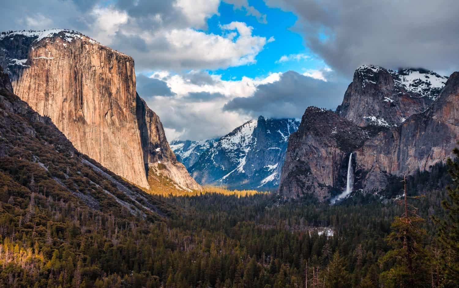
Yosemite National Park was first established in 1890 in California’s Sierra Nevada mountains and is nearly 1,200 square miles. It is well known for its massive ancient sequoia trees, known to be approximately 3000 years old. In addition, you can see Tunnel View, the famous view of the granite cliffs of El Capitan, and Half Dome, which is one of the most popular hiking trails, as well as the majestic Bridalveil Fall. There is always something to do in Yosemite National Park and surrounding areas, from fishing, arts and culture, shopping, gold panning, spas, hiking, camping, and more. In 2023, there were almost 4 million visitors to view this stunning park and embrace nature's beauty. In addition, the park features more than 400 species of wildlife, including mammals, amphibians, birds, fish, and reptiles.
Furthermore, if you are fond of hiking, Yosemite offers you a memorable hiking experience, no matter what your skill level may be. Some of the trails are rather challenging, and others are easy. Some of the easy trails include:
- Glacier Point Trail, 0.3 miles round trip
- Bridalveil Fall, 0.5 miles round trip
- Lower Yosemite Falls, 1-mile round trip
- Mist Trail, 1.6 miles round trip
More challenging hiking trails include:
- Snow Creek Trail, 9.4 miles round trip
- Four-Mile Trail, 4.8 miles one-way
- Half Dome Trail, 14 miles round trip
Glacier National Park, Montana
Coordinates: 48°45′18″N 113°48′00″W
Established in May 2010 Glacier National Park is nestled near northwestern Montana and Waterton Lakes National Park in Canada. These two parks are known as the Waterton-Glacier International Peace Park. The park receives over 2,908,458 million visitors annually and is known as the “Crown of the Continent” because of its more than 1 million acres of scenic beauty. The park hosts 276 species of birds, a mix of native and invasive species of fish, 6 species of amphibians, 3 species of reptiles, and 71 species of mammals. These mammals include grizzly bears, mountain goats, lynxes, mountain lions, and more. In addition, other activities include backcountry camping, ranger lead programs, going to-the-sun road, biking, fishing, cross-country skiing, and boating.
Moreover, the park has multiple waterfalls, two mountain ranges, and over 700 lakes. Glacier is a favorite among hikers as there are over 700 miles of trails, some of which are easy and others more strenuous. Here’s a list of popular hiking trails in Glacier National Park.
- Grinnell Glacier: Strenuous, 10.6 miles, and 5-7 hours.
- Highline Trails: Moderate, 11.6 miles, and 5-7 hours.
- Hidden Lake Overlook: Easy, 2.8 miles, and 1-2 hours.
- Iceberg Lake: Moderate, 9.5 miles, and 4-5 hours.
- Redrock Falls: Easy, 3.7 miles, and 1.5 hours.
- Avalanche Lake: Moderate, 6 miles, and 2.5 hours.
Bryce Canyon National Park, Utah
Coordinates: 37°35′N 112°11′W / 37.583°N 112.183°W
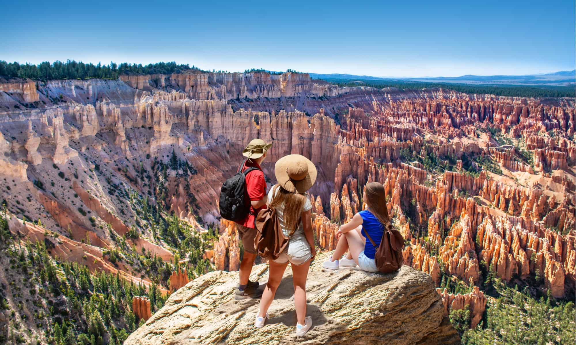
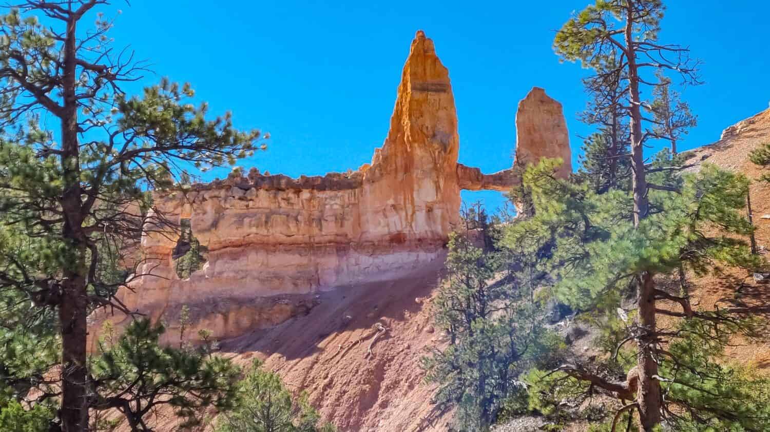
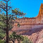
Bryce Canyon National Park, established in 1928, is 35,835 acres and home to the biggest number of hoodoos on Earth. These majestic spire-shaped rock formations attract over two million visitors each year. View the beauty of what is known as the “Bryce Amphitheatre" along the first 3 miles of the road. It is named this because it is an area that is bowl-shaped by the drainage of melting snow and seasonal rains. In addition to the iconic views, Bryce Canyon National Park hosts 11 species of reptiles, various butterflies and insects, 175 species of birds, and 59 species of mammals, including the bobcat, coyote, and red fox.
Furthermore, if you are looking for your next great hike, Bryce Canyon has trails ranging from 2 to 1,331 meters in elevation gain. So, there are fantastic options for the whole family. Popular trails include:
- Navajo Loop and Queens Garden Trail: Moderate, 3 miles, 199 m elevation gain, and 1.3 hours.
- Wall Street and Queens Garden Loop Trail: Moderate, 3.1 miles, 196 m elevation gain, and 1.3 hours.
- Sunset Point and Sunrise Point via Rim Trail: Easy, 1.1 miles, 26 m elevation gain, and 26 minutes.
- Tower Bridge Trail: Moderate, 3.4 miles, 252 m elevation gain, and 1.51 hours.
- Hat Shop: Strenuous, 4 miles, 421 m elevation, and 3–4 hours.
- Fairyland Loop Trail: Strenuous, 8 miles, 579 m elevation gain, and 3–4 hours.
Zion National Park, Utah
Coordinates: 37°18′N 113°00′W / 37.300°N 113.000°W
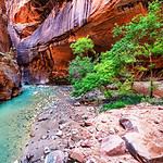
Established in 1919, Zion National Park is a wildlife park located in southwest Utah. It is famous for the steep red cliffs of Zion Canyon. The Zion National Park has over 4,623,238 million visitors annually, making it a popular destination for travelers. Furthermore, Zion is home to a variety of species, including 8 species of fish, 37 species of amphibians and reptiles, 291 species of birds, and 78 species of mammals, from ringtails to mountain lions. Other activities include backpacking, biking, birding, canyoneering, climbing, river trips, and more.
Guests can take a scenic drive that leads to forest trails along the Virgin River flowing to the Emerald Pools. Here, you can see a hanging garden and beautiful waterfalls. With an average depth of 2,000 feet, the Zion Canyon offers hiking trails in two areas known as The Subway and The Narrows, which are 20–30 feet wide. This section of the river also allows swimming. So, you will be able to have a nice dip and cool off when you get there. If you are hiking from Scout Lookout to Angels Landing, you need to obtain a permit first. However, no permit is needed to hike The Narrows from the Temple of Sinawava. Some of these trails provide shuttle services, and some do not.
Popular hiking trails include:
- Grotto Trail: Easy, 1 mile, 35 m elevation gain, and 30 minutes.
- Watchman Trail: Moderate, 3.3 miles, 112 m elevation gain, and 2 hours.
- Canon Overlook Trail: Moderate, 1 mile, 50 m elevation gain, and 1 hour.
- Angels Landing Trail: Strenuous, 5.4 miles, 453 m elevation gain, and 4 hours.
- Scout Lookout via West Rim Trail: Strenuous, 4.2 miles, 305 m elevation gain, and 3 hours.
Mount Rainier National Park, Washington
Coordinates: 46°51′N 121°45′W
Situated in northeast Lewis County and southeast Pierce County in Washington State. Mount Rainier was established in 1899 and is the fourth U.S. National Park, conserving 236,381 acres, including 14,403 feet of stratovolcano and all of Mount Rainier. The park has over 1,622,395 million travelers a year who come and view the lush wilderness, historic landmarks, and hiking trails. Common birds that inhabit the park include the chickadee, willow flycatcher, bold eagle, and harlequin duck. While exploring, be on the lookout for some of the following mammals: the western spotted skunk, bobcat, black bear, mountain lion, and deer.
Furthermore, picnic areas, camping, restaurants, and lodging are available. Other activities include climbing, bicycling, fishing, backpacking, and boating. This enormous mountain is surrounded by hundreds of miles of hiking trails that climb to the top of Mount Rainier. For the enthusiastic hiker, the best trail to experience a glacier firsthand is the Carbon Glacier Trail in the northwest area. Additionally, along the Tolmie Peak Trail, Tolmie Peak Lookout and Eunice Lake offer impressive views of Mount Rainier and surrounding regions.
Popular hiking trails to follow:
- Carbon Glacier Trail: Strenuous, 17 miles, 1,900 feet elevation gain, and 9 hours.
- Burroughs Mountain Loop Trail: Strenuous, 9.5 miles, 2,602 feet elevation gain, and 5.3 hours.
- Tolmie Peak Trail: Moderate, 5.6 miles, 1,555 feet elevation gain, and 3.3 hours.
- Silver Falls Loop: Easy, 3 miles, 522 feet elevation gain, and 1.2 hours.
Finally, the best U.S. national parks for hiking offer picturesque views, gorgeous mountains, wonderful animals, flowing waterfalls, and more. Regardless of your skill level, there is a hiking trail suitable for everyone and will leave you with unforgettable memories.